UPDATE 9/8, 5:34 A.M.: "Kiko is expected to pass north of the main Hawaiian Islands on Tuesday through Wednesday," reported the National Weather Service. "On the forecast track, Kiko is expected to pass north of the main Hawaiian Islands on Tuesday through Wednesday."
The greatest hazards remain dangerous surf and rip currents along the East-facing sides of the Islands later today and through the middle of the week.
"Maximum sustained winds have decreased to near 85 mph with higher gusts. Additional weakening is forecast during the next few days, and Kiko is expected to become a tropical storm by the end of the day."
UPDATE 9/7, 8:45 A.M.: "Kiko is forecast to pass north of the Hawaiian Islands on Tuesday and Wednesday," reported the National Weather Service. "While the risk of direct impacts on the islands appears to be decreasing, interests there should continue to monitor Kiko's progress and the latest forecast."
"Swells generated by Kiko are expected to begin reaching the Big Island and Maui later today. These swells will gradually build and are forecast to peak along east-facing exposures of the Hawaiian Islands late Monday through midweek, potentially producing life-threatening surf and rip currents. Listen for later advisories and possible warnings from the National Weather Service."
UPDATE 9/6, 6:30 a.m.: Kiko remains a category 4 hurricane, with maximum sustained winds near 130 miles per hour, per the National Weather Service. The hurricane is expected to weaken in the days ahead.
There are no coastal watches or warnings in effect at this time, as the hurricane continues to move toward the Islands at a speed of 12 miles per hour.
"Swells generated by Hurricane Kiko are expected to begin reaching the Big Island and Maui by Sunday," the agency said. "These swells will gradually build and are forecast to peak along east-facing exposures of the Hawaiian Islands late Monday through midweek, potentially producing life-threatening surf and rip currents."
Previous reporting:
Hurricane Kiko — which "re-intensitifed" into a category 4 hurricane Friday morning as it moves toward the Central Pacific Basin — is expected to approach the Islands in the early to middle part of next week.
Forecasters from the National Weather Service said in an update at 11 a.m. Friday that "impacts from rain and wind remain a possibility," but it's too soon to determine the severity and location of those impacts.
Ahead of the storm's arrival, Lt. Gov. Sylvia Luke on Friday afternoon issued an emergency proclamation declaring a statewide state of emergency "due to the possible inclement weather posed by Hurricane Kiko."
Luke is currently acting governor while Gov. Josh Green is in Italy for business as president of the Council of State Governments.
According to an announcement from the Governor's Office, the proclamation "activates emergency measures and resources to protect public health, safety and welfare."
The disaster emergency relief period continues through Sept. 19, unless it's extended or ended earlier.
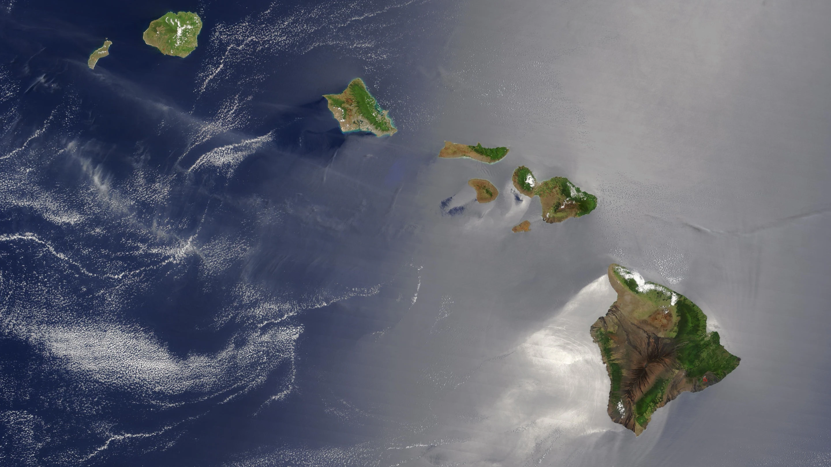
As of 11 a.m. Friday, the storm was located about 1,195 miles east-southeast of Hilo and 1,400 miles east-southeast of Honolulu, moving west-northwest at around 10 mph. It's expected to continue that motion over the next few days, the forecast states.
"Maximum sustained winds have increased to near 130 mph with higher gusts," forecasters say. "... Additional strengthening is expected this afternoon and tonight before slow weakening begins on Saturday."
According to NWS, hurricane-force winds can extend up to 25 miles out from the center of the storm and tropical storm-force winds can extend outward up to 70 miles.
Swells caused by the hurricane, which can cause "life-threatening surf and rip currents," could begin reaching the Islands toward the end of this weekend.
Chris Latronic, public information officer for the City and County of Honolulu Ocean Safety Department, told Aloha State Daily in an email that people should "treat this hurricane as a 'no go beach day.'"
"If the storm hits, definitely stay out of the water," he says. "Ocean conditions will be dangerous with big surf and strong rip currents. We'll be closing beaches as hazards increase and pulling back our assets to safe areas. If the Hurricane heads farther north, there will still be big storm surf for southeast, east and northeast shores. Beachgoers should go to guarded beaches and only spectate. We expect expert surfers will brave the conditions at their own risk.
"'When in doubt, don't go out!'"
Hawai‘i County on Friday also urged residents and visitors to prepare for possible storm impacts, noting that the island could see "storm-driven high surf starting as early as Sunday, and strong winds and heavy rain starting as early as Monday morning."
“Depending on Kiko’s exact path it could bring flooding rains, dangerous waves and rip currents, and damaging winds,” Hawai‘i County Civil Defense Administrator Talmadge Magno said in Friday's announcement. “Now is the time to check your preparations, review your plans and make sure you can receive emergency messages.”
Before a storm arrives, the county says to:
— Review your emergency plan and make sure that everyone in your household knows possible evacuation routes and where you'll shelter.
— Check your "go bag," and make sure to have three days of food, water, medication and other necessities for each family member — and pets. Include a flashlight, battery-powered radio, copy of important documents and other items.
— Set a meeting place in case you're separated and set up an off-island contact point who can share messages if local communications are disrupted.
— Make sure your vehicles have at least a half-full tank of fuel.
— Check the areas around your home. Trim tree limbs and secure items like awnings and umbrellas that could damage roofs and windows if they become airborne. Remove debris that might block drainage and increase the chance of flooding.
Sign up for county emergency alerts at the links below:
Hawaii Emergency Management Agency also has a list of county resources.
For the latest news of Hawai‘i, sign up here for our free Daily Edition newsletter.
Stephanie Salmons can be reached at stephanie@alohastatedaily.com.